How to get there
Trailhead
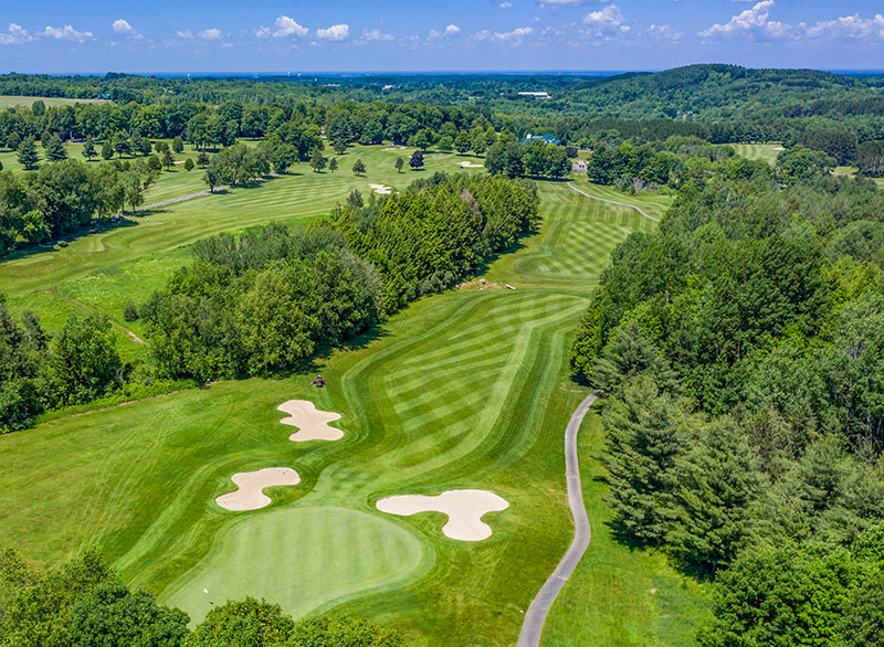
Take Route 30 to the Saranac Inn, the golf course. Then take Floodwood Rd. approximately 2 miles past Hoel Pond Road. Look for snowmobile trail access signs on the left.
You can also park at the day-use area at Fish Creek/Rollins Pond Public Campgrounds to the east, on Route 30. The small day-use fee also gives you access to the beach and showers.
Hiking
The Little Square Pond Trail (red markers) begins on Floodwood Road and travels about 0.75 miles through the woods to Floodwood Pond. It then continues along the shoreline of Floodwood Pond, passing a campsite at the south end before turning left and heading east. The red-marked trail continues through forest for about 2 miles, staying near the water at times, until it reaches the junction with the canoe carry connecting Fish Creek and Follensby Clear Pond.
From there, the route follows the canoe carry to Follensby Clear Pond, then transitions to the Horseshoe Pond Trail (blue markers), which heads north back toward Floodwood Road. This section follows a marked path around Horseshoe Pond, continuing along the peninsula and looping around the shoreline. The blue trail then passes the connection between Horseshoe Pond and Little Polliwog Pond and continues north.
The Horseshoe Pond Trail continues for just under 2 miles back to Floodwood Road, where it follows the north shore of Middle Pond west for about 1 mile to complete the route.
By the Numbers
Mileage: 8.6 Miles (Loop)
Elevation gain: 387ft
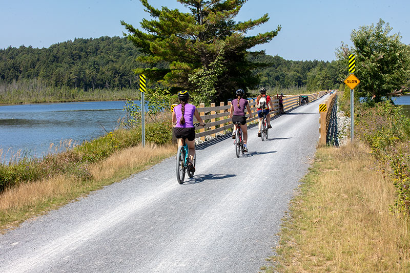
Cycling
Floodwood Loop is a 6-mile mountain biking loop trail. Its location near Lake Clear makes it a scenic way to view wildlife.
This loop is considered Moderate/Advanced for mountain biking.
Paddling
The trip begins at the state boat launch on Floodwood Pond, about 100 yards from the parking area. From there, paddle into Fish Creek and continue downstream into Little Square Pond, then back into Fish Creek as it flows toward Fish Creek Ponds, where state campgrounds are located and motorboats are allowed.
Continue paddling through Fish Creek Ponds to Spider Creek, which leads into Follensby Clear Pond. At the north end of Follensby Clear Pond, the route continues with a portage to Polliwog Pond, followed by another portage of about 0.5 miles to Hoel Pond, crossing Floodwood Road along the way.
From Hoel Pond, paddle to the next carry, a short portage over an old railroad bed into Turtle Pond, entering the St. Regis Canoe Area. Continue across Turtle Pond to Slang Pond via a short creek, then complete a flat 0.25-mile portage to Long Pond.
From Long Pond, the final portage is about 0.75 miles, somewhat hilly, and leads directly back to the starting area and parking lot.
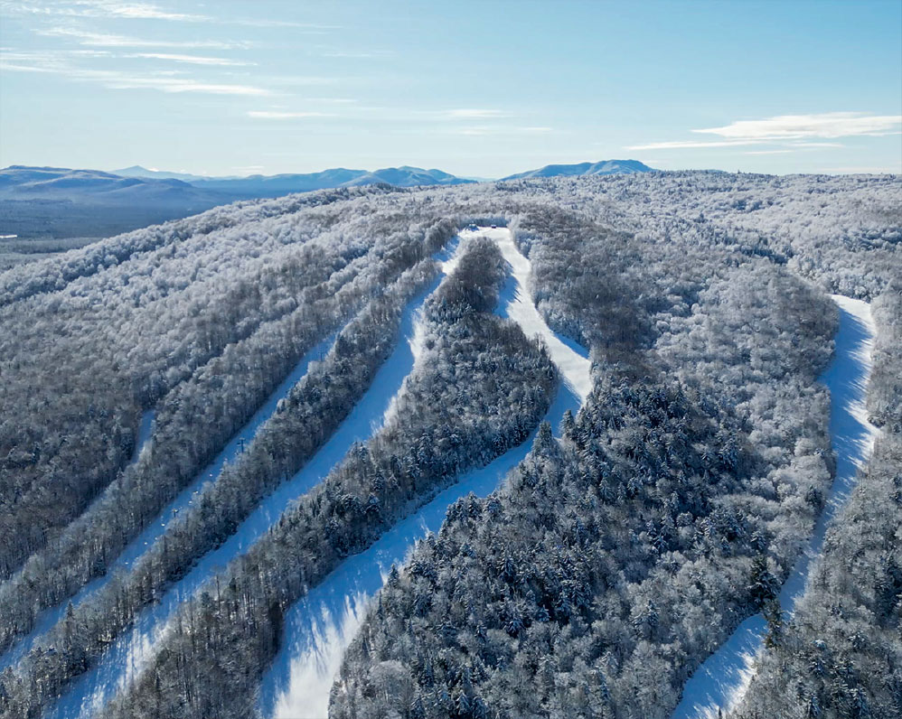
Cross-Country Skiing and Snowshoeing
This is a scenic loop trek that is flat enough for most skill levels.