This is a moderately difficult route that follows old woods roads and a steep trail to the summit, where there are great views from the ground and a 35-foot fire tower. Unfortunately, the tower cannot be climbed at this time.
How to get there
From Saranac Lake, take Route 3 east and turn left on County Route 26 after about 15.5 miles. The parking area is on the left after about 8 miles.
By the numbers
Distance: 2.7 miles to the summit
Elevation: 3,314 feet
Ascent: 1,600 feet
Hiking
The trail starts out following an old woods road for a little over 1.25 miles, then turns left onto the footpath, marked by an arrow. From the turn, the trail begins to climb toward the summit. At 2 miles, there is the first of several bridges — things also get progressively steeper from this point on. The final push to the top ascends a mossy, rocky stream that's steep and slippery. The views from the summit rock are outstanding, and hikers can explore around the summit for additional views of the area. This is a calf burner, but the views are worth it!
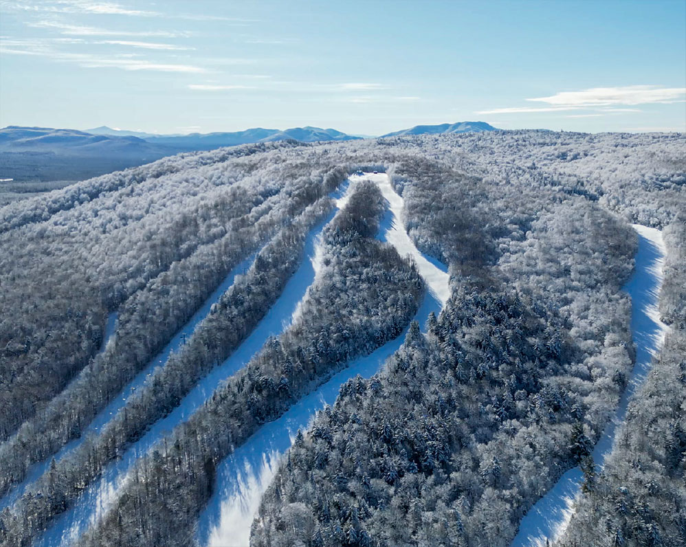
Loon Lake Mountain in winter
Loon Lake Mountain is a difficult snowshoe, so be sure to leave early. Snowshoes are necessary to avoid postholing through the snowpack, and snow spikes are recommended for ascending the mountain's steeper sections, though they may not be strictly necessary. Extra layers of non-cotton clothing, a windbreaker, an emergency blanket, a first-aid kit, a headlamp with extra batteries, and plenty of food and water are essential items for any winter excursion. The extra layers and windbreaker are especially important on the summit, which is exposed and likely to be much colder than the lower sections of the mountain.