This gentle forest walk follows a quiet woods road before transitioning to a narrow trail that leads to the open, grassy shore of Pickerel Pond. Calm waters, framed by surrounding forest and distant mountain silhouettes, create a serene setting ideal for a relaxing Adirondack outing.
How to get there
From the north (Saranac Lake):
Travel south on Route 3 toward Tupper Lake, then turn left onto Coreys Road. Continue several miles to a small roadside parking area on the right marking the trailhead.
From the south (Tupper Lake):
Head north on Route 3 toward Saranac Lake and turn right onto Coreys Road. Follow the road to a designated roadside pull-off on the right where the trail begins.
By the numbers
Ascent: Loss of ~60 feet to the pond
Distance Round Trip: 0.6 miles
Approximate Time Round Trip
Families with Kids: 1 to 1.5 hours
Experienced Snowshoers: 45 minutes to 1 hour
Out of Shape Snowshoers: 1 to 1.5 hours
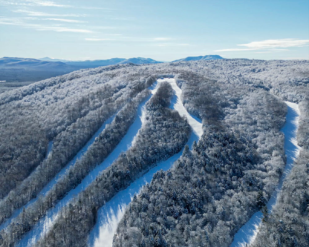
Winter
In winter, the route transforms into a quiet, snow-covered corridor well-suited for snowshoeing and backcountry skiing. Seasonal road access may be limited, often requiring a longer approach, and visitors should be mindful of changing ice conditions on the pond.
Additional Important Information
During the winter, the road is supposed to be closed beyond the Raquette Falls trailhead. In many instances, it is not and can be driven to this trailhead. If the gate is closed or the road is impassable, you will be required to hike a mile or so to the trailhead.