This is an excellent beginner hike destination to a small peak with great views.
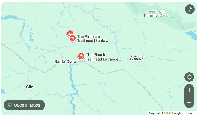
How to get there
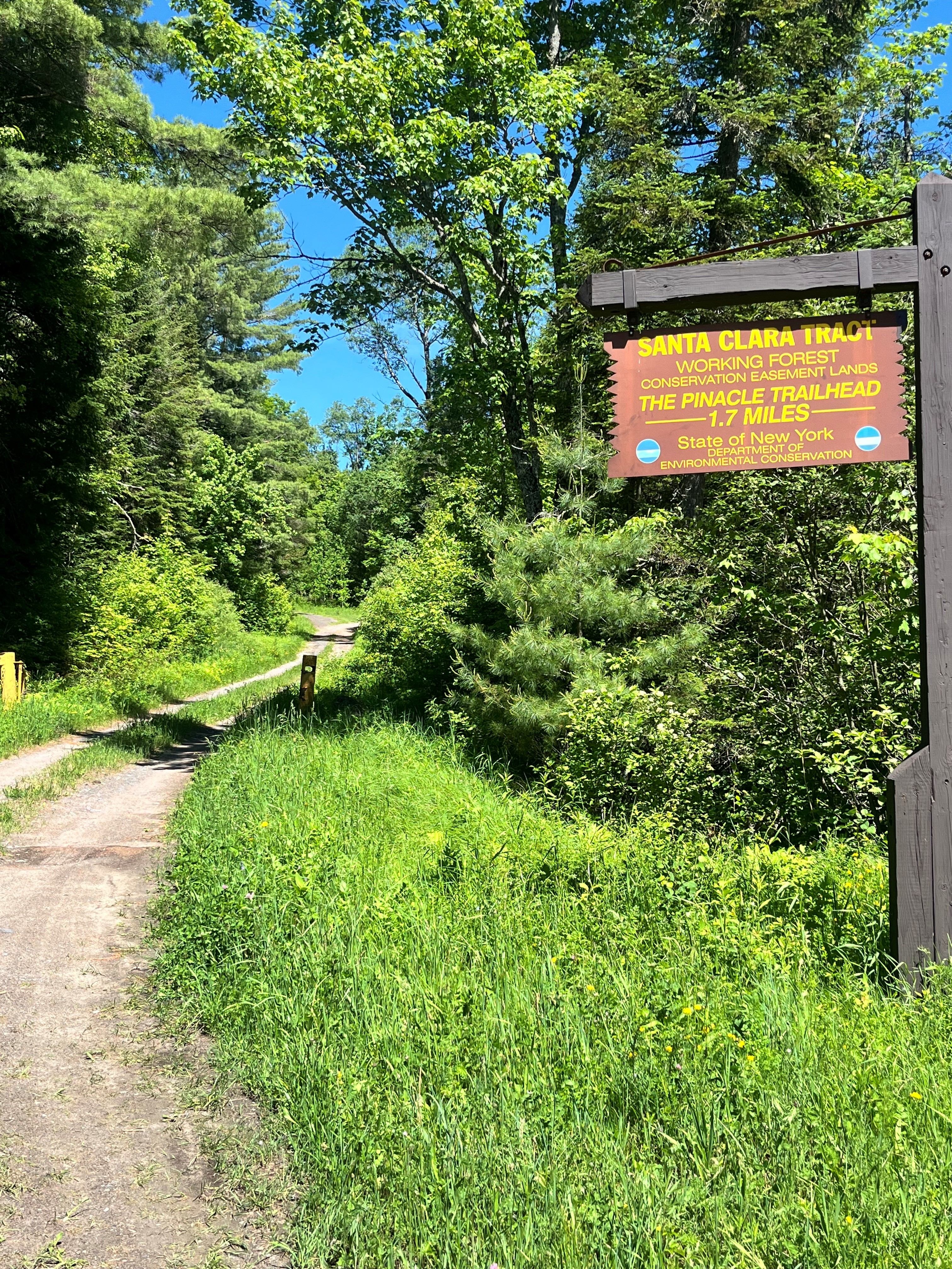
To reach the trailhead, take NY-11B South and NY-458 East (Santa Clara Road). Approximately 6.5 miles outside of St. Regis Falls, you will see a Trails sign on the left side of the road. You may park here if you would like to extend your hike, making the round-trip distance approximately 4.7 miles. To begin at the main trailhead, continue down the driveway if the gate is open and bear right at the Y in the road. Follow the gravel driveway for about 1.5 miles until you see the trailhead sign on the right.
By the numbers
Elevation gain 295ft.
Distance Round Trip: 1.7 miles
Approximate Time Round Trip: 1 hour if you start at the trailhead.