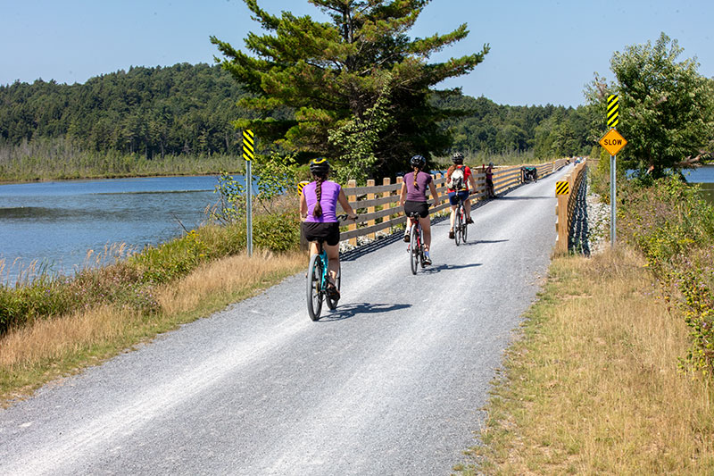
The Raquette Falls Trail is one of the most popular Adirondack backcountry ski routes in winter, and a wonderful hiking route along the river in summer. This scenic backcountry route follows the Raquette River through quiet forest, leading to a pair of powerful waterfalls hidden deep in the Adirondacks. Gentle terrain and riverside views make it a rewarding journey for those seeking a longer, immersive hike.
How to get there
Follow Route 3 toward Tupper Lake. Continue to Coreys Road on the left. Follow Coreys Road for 2.6 miles to the trailhead parking lot on the right.
By the numbers
- Distance: 8.5 miles, round trip
- Elevation gain: about 50 feet, minimal
Hiking
The trail begins on a wide, well-defined path that gradually winds through tall pine forest and mixed woodland. Rolling terrain carries hikers over low ridges and past wetlands, with occasional glimpses of the Raquette River appearing through the trees. Early in the hike, short side paths lead to quiet river access points and rustic lean-tos tucked along the shoreline.
Farther in, the route crosses streams and passes through varied forest, eventually reaching an interior outpost area where multiple trails converge in an open clearing. Continuing straight, the path narrows and becomes more rugged as it approaches the falls, with uneven footing and sections that descend closer to the river. The final stretch leads to the Lower Falls, where churning whitewater spills over dark rock into a swirling pool, creating a dramatic and immersive viewpoint.
Beyond this point, a more challenging footpath follows the river toward the Upper Falls, featuring rougher terrain and occasional steep sections. This extended route offers a quieter, more adventurous experience with additional perspectives of the river and surrounding wilderness.
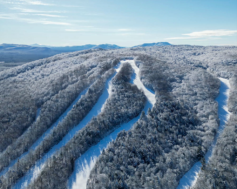
Winter
In winter, the trail becomes a peaceful backcountry route popular with cross-country skiers and snowshoers. Snow softens the terrain and transforms the forest into a quiet, white landscape, though the route is ungroomed and requires preparation for changing conditions.
Camping
There are several lean-to locations along the Raquette River that can be accessed from the trail for camping.
Birding
This river and forest trail is home to many arboreal birds, including many warbler species.