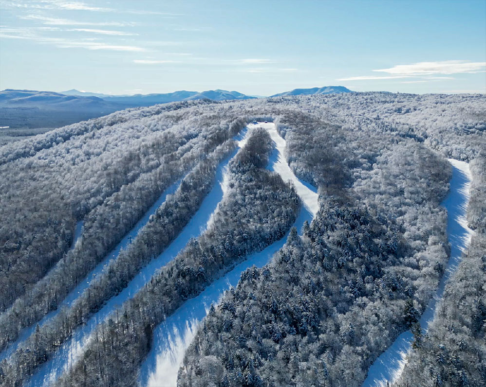
By the Numbers
Length: 2.6 mi,
Elevation Gain: 29 ft.
Hiking
This path runs between Kushaqua-Mud Pond Road and Buck Pond Campground. The trail closely borders the shores of Lake Kushaqua for several stretches. The southern section of the trail is especially popular with campers at the campground during the summer months. The trail is very flat and great for all ages.
Paddle
Launch from the state access site on Kushaqua Mud Pond Road in Onchiota, near the bridge. From the launch, paddle under the bridge into Rainbow Lake, then continue through the short connecting channel/tunnel into Lake Kushaqua.
Once on Lake Kushaqua, follow the shoreline in either direction to explore the lake. You can paddle the full length of the lake (about 1 mile long) or circle the perimeter to view campsites, shoreline structures, and undeveloped forested edges. The north end of the lake connects back toward another bridge area on Kushaqua Mud Pond Road, which can be used as a turnaround point.
Return by retracing your route through the lake, back through the channel/tunnel, under the bridge, and back to the original launch on Rainbow Lake.
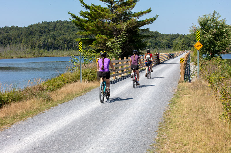
Cycling
Whether a driving destination or an epic cycling journey, this highly scenic road should not be missed. This is a wonderful opportunity to use that hybrid bike, or to walk a less rugged machine through the rough parts in this partially paved, seasonal road.This trip offers some amazing views of streams, ponds, deep woods, scenic bridges, and small hiking trails along the shore. Wonderful photo opportunities can be found throughout. (Please heed warning signs for unsafe bridges and private property.) The trip there has lovely parts, too, especially if the Chasm Falls Loop is part of the journey. It's a lovely river route that includes the roaring falls at Chasm Falls and a hike to a waterfall in the Titusville Mountain area.
The entire loop can be more than 60 miles.
There is room for extension at the end of Kushaqua-Mud Pond Road, which includes the scenic Route 60, also known as the Gabriels-Onchiota Road. Explore the wilderness camping and hiking trails along Jones Pond. In summer, don't miss the Six Nations Indian Museum.
Take Duane Road south from Malone; it becomes Route 27, connected by Webber Road. Continue south on 27, where it turns into Wolf Pond Road. A short distance through Look Lake Landing is the north end of Kushaqua-Mud Pond Road, which proceeds south to Onchiota. For the return, there are several alternative routes.
Scenic Drives
There are services in Malone, Mountain View, and Chasm Falls. Don't miss dining at the Trailside Bar & Restaurant.
Trail Running
This is a gorgeous seasonal road that can range from a maintained paved road to a warm-season-only gravel-and-dirt surface.