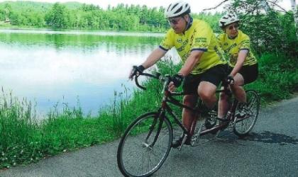
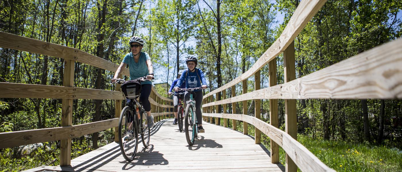
Adirondack Rail Trail
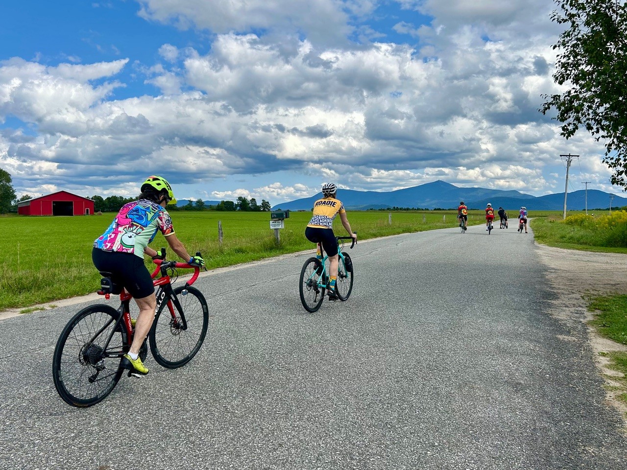
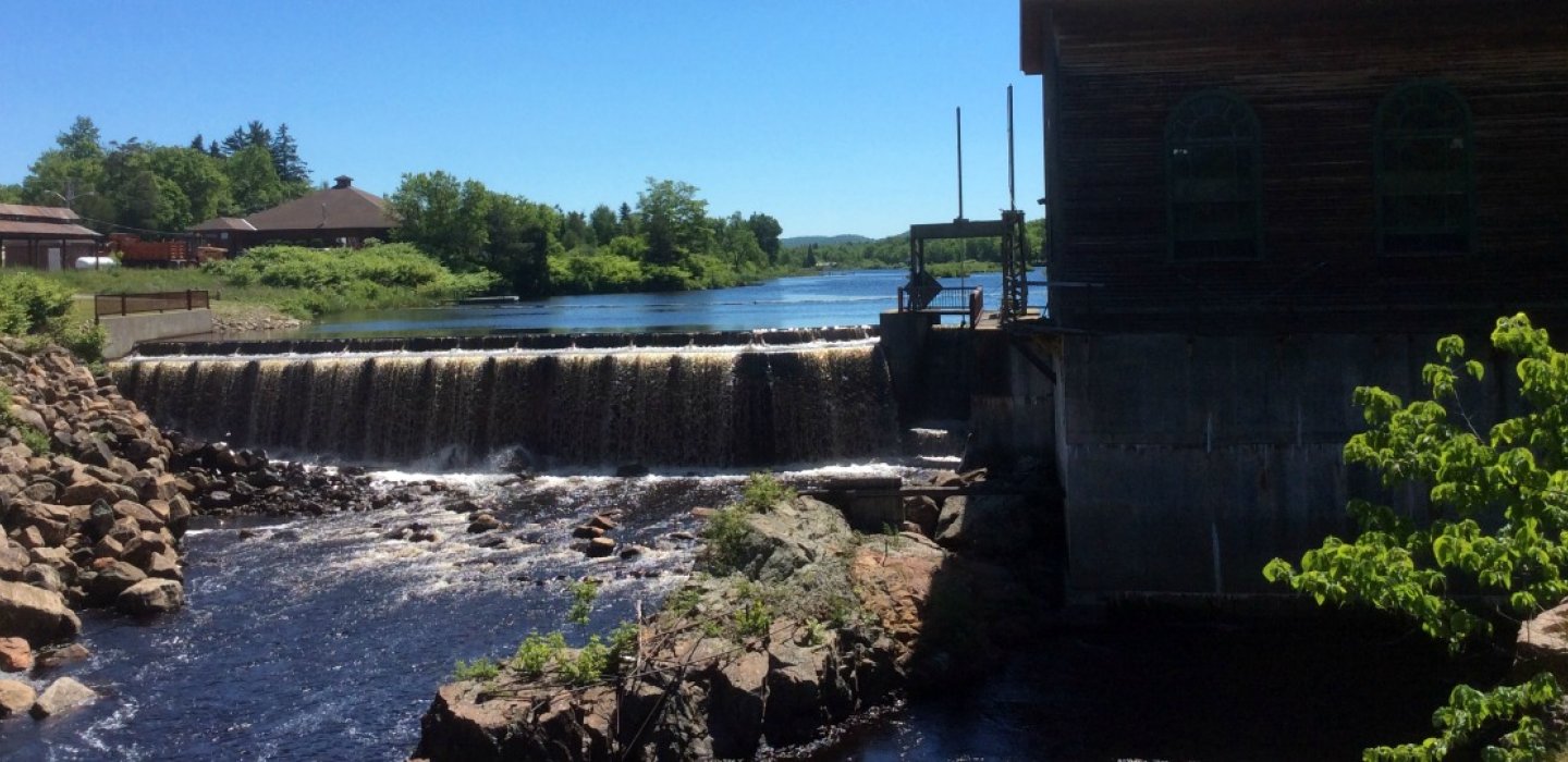
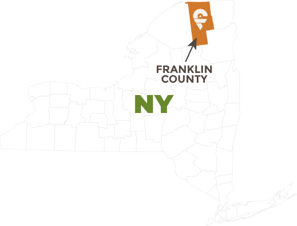
The Adirondack Rail Trail is a multi-use trail that stretches for 34 miles across some of the most scenic portions of the Adirondack Park. Traversing Lake Placid, Ray Brook, Saranac Lake, Lake Clear, and Tupper Lake, the trail is perfect for a cycling adventure, offering stunning viewpoints, local eateries, and other stops worth making along the way.
Mountain Biking Map
Get Your Gravel On
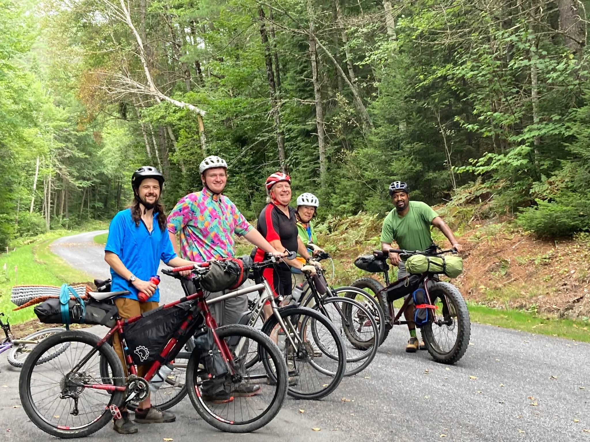
If road riding is not your thing and you’d prefer a little bit of dirt and a lot more adventure, well, we’ve got that too. And that’s before the 34-mile Adirondack Rail Trail connecting Lake Placid, Saranac Lake and Tupper Lake is open for riding (expected completion 2024). Here’s a few of our favorite gravel routes:
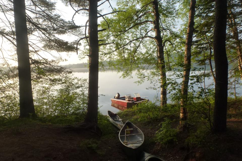
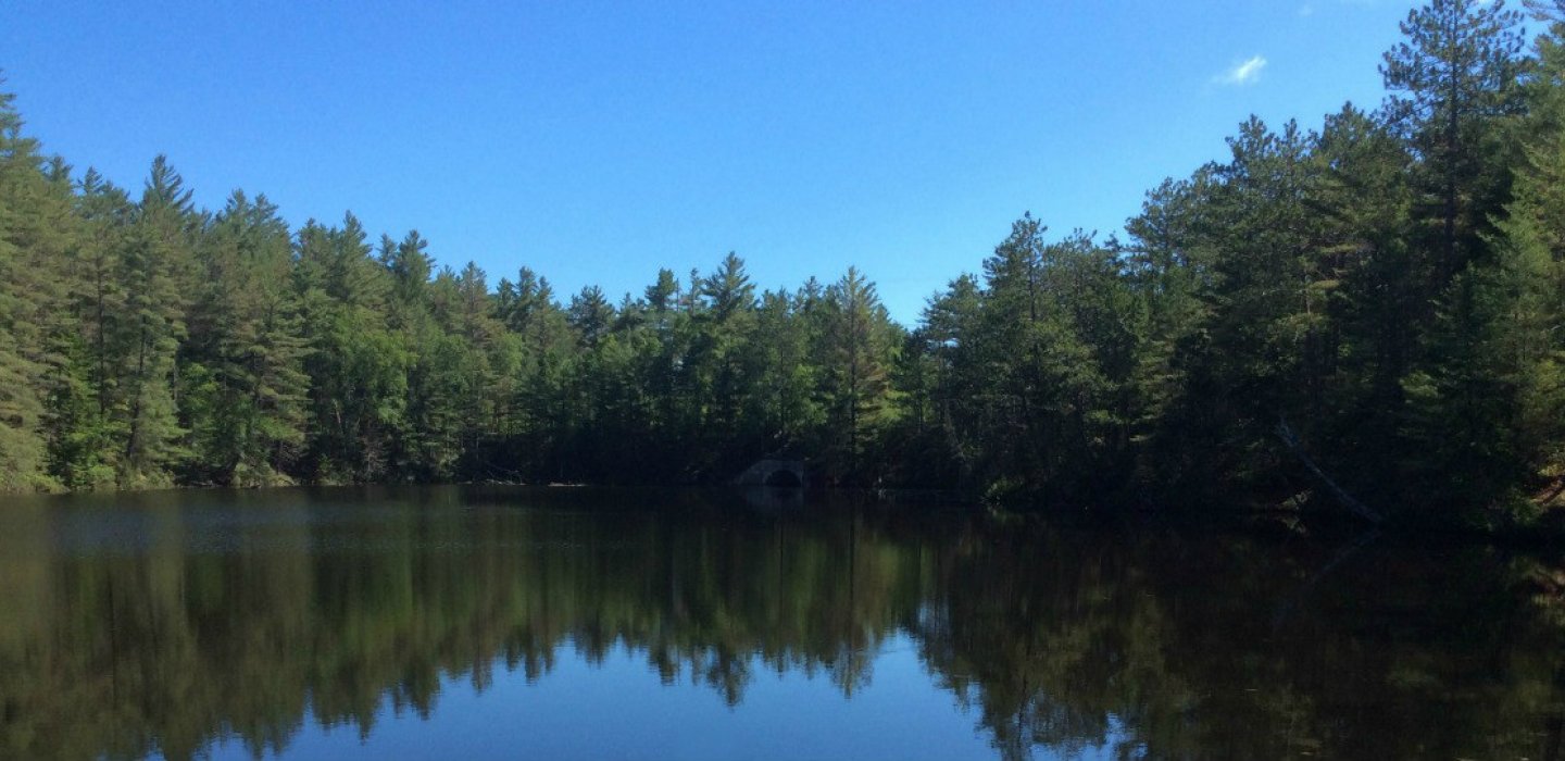
Lake Kushaqua
16.1 miles
Map: https://ridewithgps.com/routes/32058171
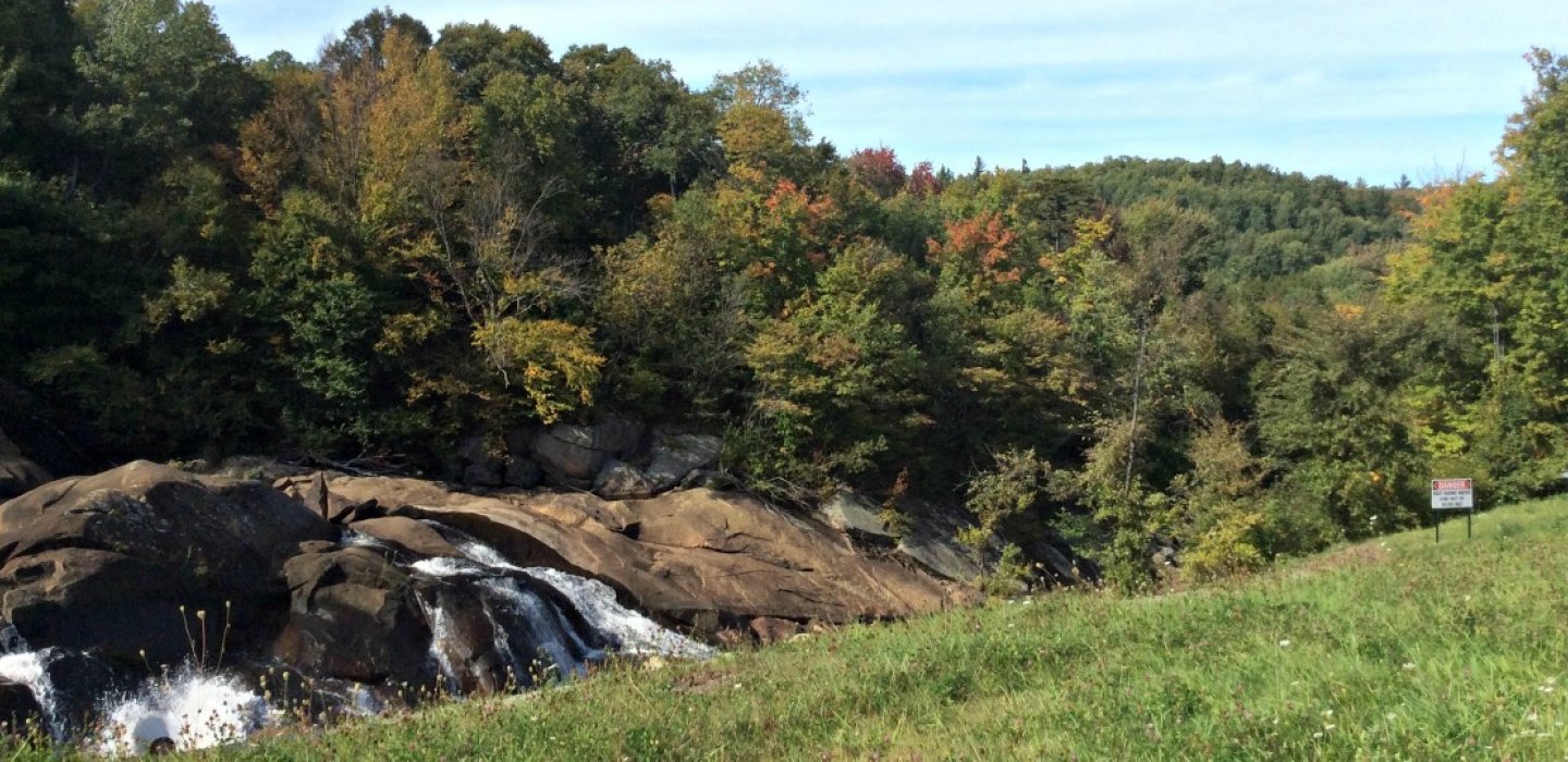
If you’re camping at Buck Pond or just in the area, this classic ride is right in your backyard and is not to be missed. Gravel bikes or hard tail mountain bikes are a must, but you’ll be rewarded with incredible lake and river views, plus the feeling that you are miles from another soul.
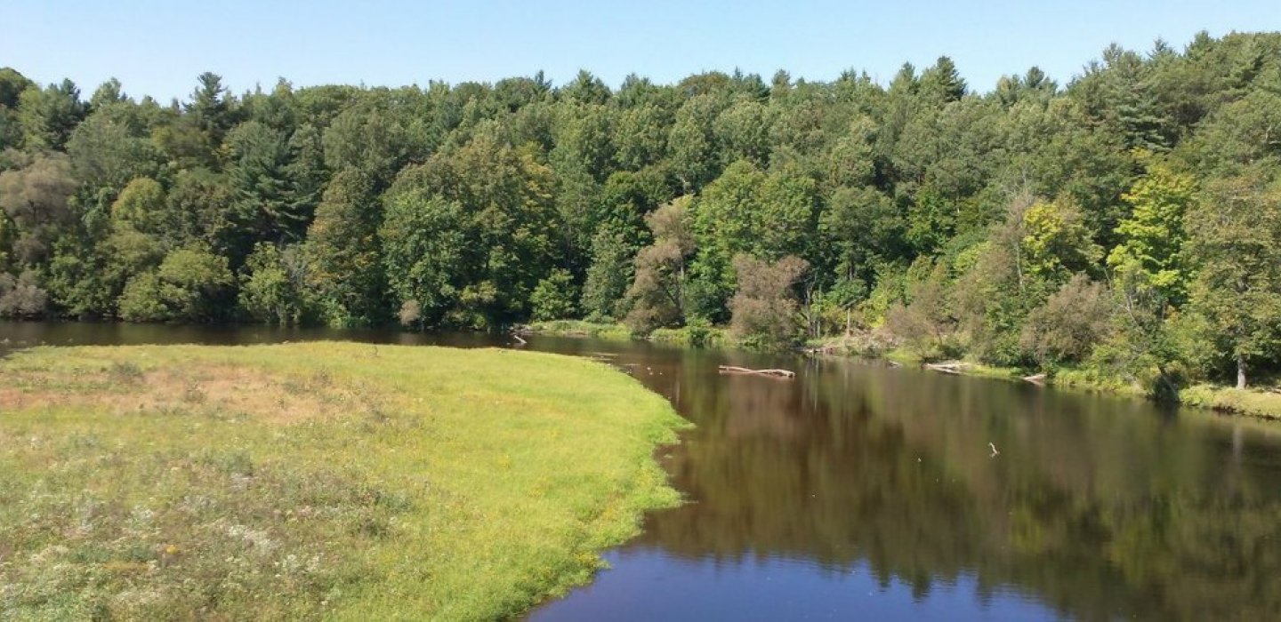
Keese Mills Road
25 miles
Map: https://ridewithgps.com/routes/38045122
Since this is an out-and-back route, you can make it any distance you like simply by turning around. You can also make it a point-to-point by spotting a car. Either way, you’ll enjoy some smooth rural road riding before experiencing some of the best gravel around between Paul Smiths and St. Regis Falls.
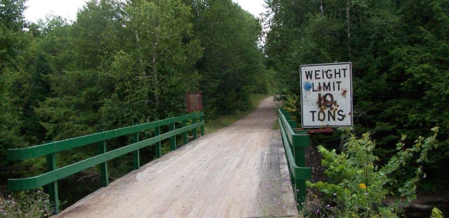
Fish Pond Truck Trail
4.7 miles
Map: https://ridewithgps.com/routes/50691243
Accessible from Fish Hatchery Road near Lake Clear, there’s a number of ways to ride this network. End-to-end it’s 4.7 miles, but has all sorts of spur trails. The spur trail to St. Regis Pond is known as the St. Regis Pond Truck Trail and is a local favorite for cycling.
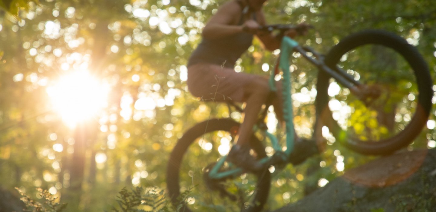
Singletrack Is The Only Track
If mountain biking is your pedal powered method of choice, the Saranac Lake area is where you want to be. The Dewey Mountain Recreation Center, Mt. Pisgah and Fowler’s Crossings networks, which are built and maintained by Barkeater Trails Alliance feature some of the best dirt in the area. From fun flowing beginner loops to technical challenges there’s something for every ability level at all three networks. Best part is, you can ride them all in the same day or hang out and loop each as long as you like. Either way is endless fun.